Cardamom Communities Project: Improving community livelihoods and conserving biodiversity through participatory commune land use planning
This project is the continuation of the previous project, called “Conserving the biodiversity of Cambodia’s Cardamom Mountains through developing Community Protected Areas and sustainable livelihoods”.
The main objective is to improve food security and income of communities living in 34 villages in Veal Veaeng and Samlout districts by ensuring community access to land and resources, providing training to diversify income from organic and Non-Forest Timber products, whilst protecting globally significant forest biodiversity and sustain its natural carbon sink.
Cardamom Mountains are both an old stronghold of the Khmer Rouge and a densely forested landscape of outstanding conservation importance (containing half of all Cambodia’s biodiversity). Many of the beneficiaries from this programme are from Cambodia’s most disadvantaged groups (with annual earning stand at less than 25 EUR).
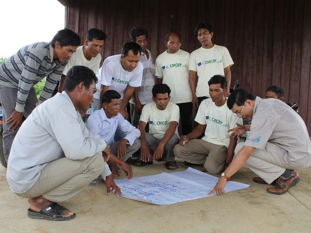
Fauna and Flora International staff have been carrying out projects in the region since 1999. Significant issues remain through the loss and degradation of community land and resources (by authorities granting concessions to corporations or powerful groups simply taking land for themselves), poverty as well as limited voice and representation at the district planning level. Fauna and Flora International uses innovative training techniques to increase the appropriate skills necessary to improve community-based management of agricultural and forest lands, whilst helping to establish the cooperative networks necessary to market renewable forest products.
This project, designed in consultation with the Ministry of Environment, is closely aligned with the National Strategic Development Plan and contributes towards the achievement of the Millennium Development Goals.
To complete this programme successfully, four secondary objectives are planned :
-
Increase household food security and income across the area by building the capacity of residents to manage and market their agricultural produce and renewable forest products. This will be done by:
- Conducting an assessment to evaluate challenges of key income generation, value change and market researches for key commercial products
- Developing and training 14 villages in Samlout District on business enterprise development and how to sustainably harvest and sell both agricultural and renewable forest product
- Providing an offer of technical support to help villagers (in both districts) to develop new business enterprises
- Identifying knowledge gaps and strengthening the community cooperatives and savings groups by providing further training on basic record-keeping, accounting, group management and leadership, and by sharing experiences and mobilizing resources.
-
Strengthening the capacity of the concerned villages to effectively engage in local governance by:
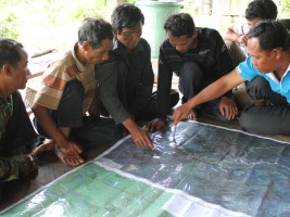
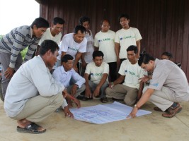
- Establishing groups and committees to support land use planning;
- Training of individuals on commune land use planning and water catchment protection
- Recruiting literate village library staff to run information centres
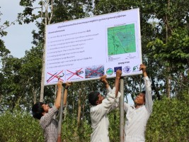
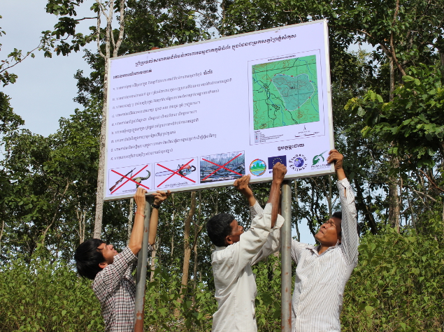
- Establishing community information signs in Samlout district
- Providing ongoing training and mentoring of elected management committees in legal compliance, record-keeping, conflict-resolution, leadership skills, financial management and wildlife protection.
-
Empowerment of the concerned villages to secure access to land and resources through participatory land use and community protected areas plannings. This will be done by assisting villages to:
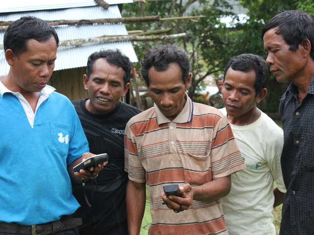
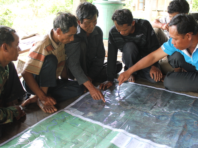
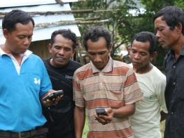
- Conduct initial land use changes mapping of their farm and communal land
- Identify micro-water catchment areas
- Develop a pilot programme for community-based drinking water harvest and distribution in Tumpaor village (Veal Veaeng District)
- Host formal recognition ceremonies at district centres for 15 commune land use plannings
- Establish commune land use planning management plans for 10 priority villages
- Prepare, verify and approve land use plans in each of the seven communes
- Work with local authorities to resolve conflicts relating to land and forestry issues.
-
The monitoring and evaluation of the project impacts on the livehood and biodiversity through:
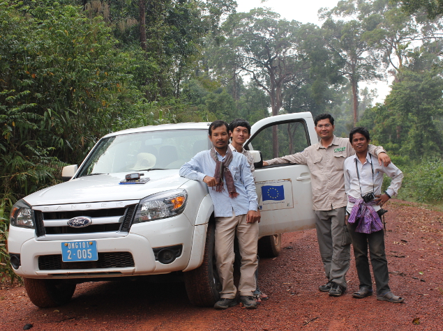
- Monthly forest monitoring conducted by rangers and wardens
- Regular photographing of 94 fixed spots to assess the vegetation change
- Use of satellite imagery and ground-truthing to assess land use changes
- Surveys conducted by Cambodian university students on livelihood
- Publication of reports in English and Khmer.

